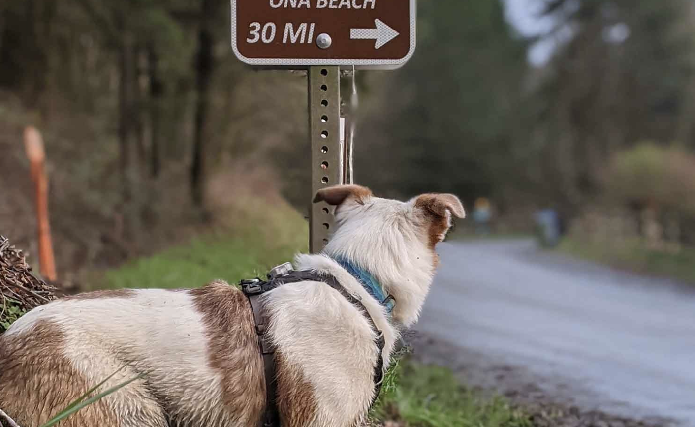
I decided to take advantage of a nice weather window this past winter and ride the C2C route, along with a friend and my dog, Charlie. The C2C is a 60-mile hiking and biking route that connects Corvallis to Ona Beach on the Oregon coast. The bike route travels through remote areas of the coast range on mostly gravel roads, which makes it an excellent overnight bikepacking trip that you can begin right from town.
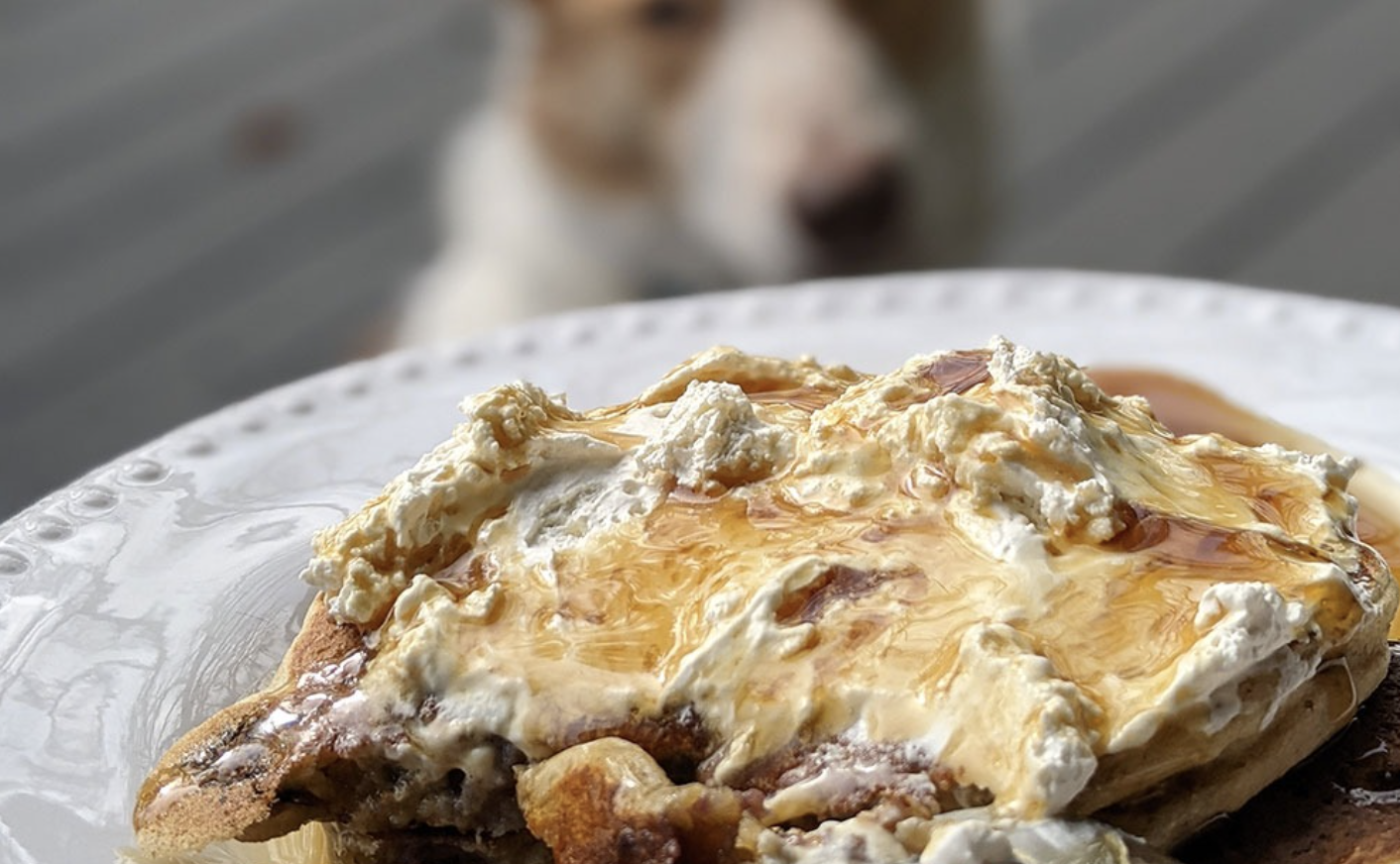
We started our trip by fueling up with some blueberry pancakes before hitting the road at noon.
We’d naively planned for nice weather, but it wasn’t long before we encountered the grey, drizzly weather that Oregon winters are famous for. We got pretty wet climbing up Old Peak Road towards Mary’s Peak, but pedaling up the steep grades kept us warm.
We made it past Mary’s Peak and dropped down to the picturesque Harlan Valley as the clouds lifted and the rain stopped. The coast range is pockmarked with clearcuts, and the C2C passes through several of them. It’s common for the forests to transition suddenly from a barren landscape to a young tree farm, a mid-growth stand interspersed with deciduous trees, or a towering forest of old growth Douglas Firs.
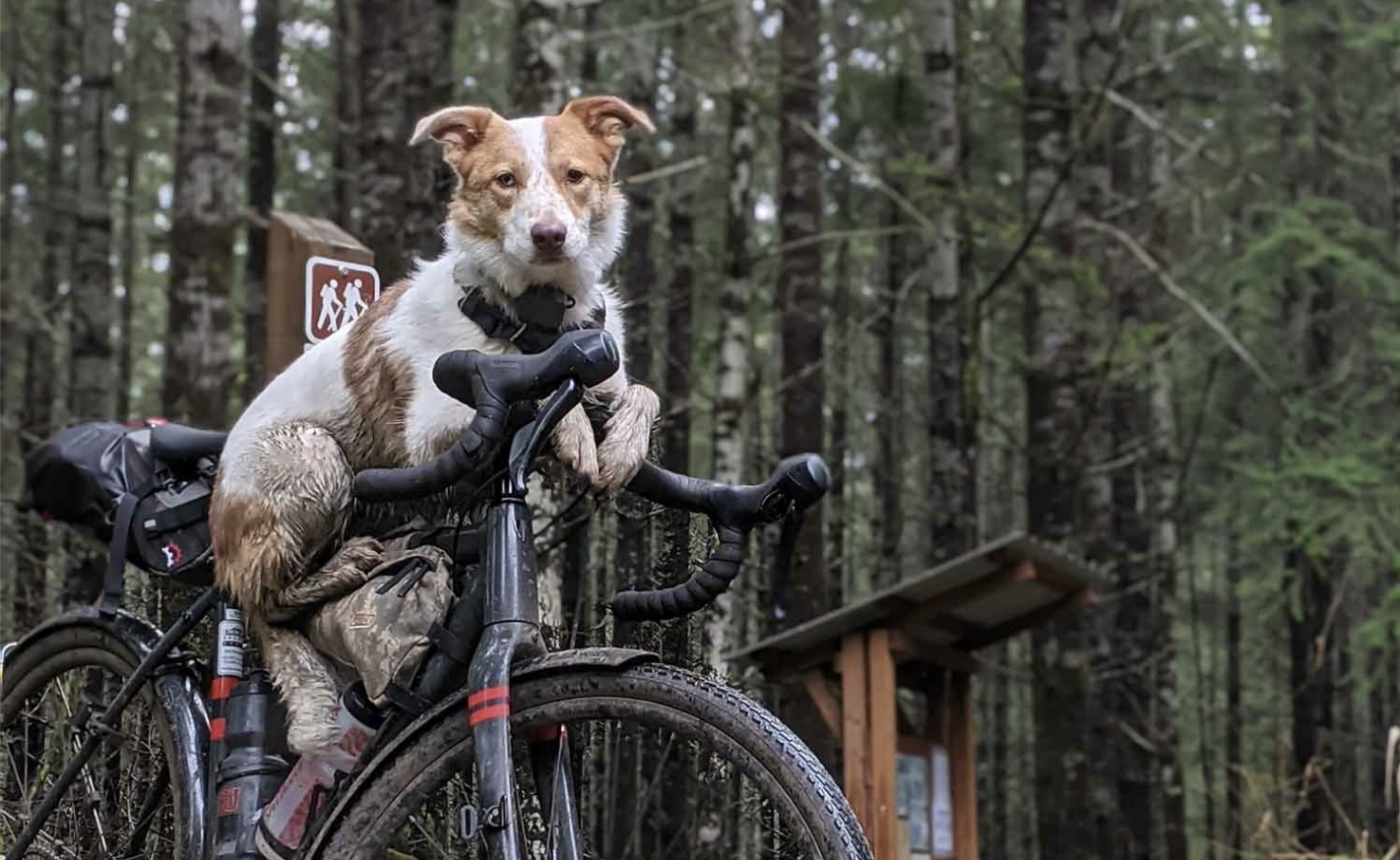
The road surface is equally variable – sometimes the gravel is so packed it’s nearly mud, and in other places it’s fresh, chunky gravel with sharp edges that threaten to pinch flat your tires. Charlie and I spend much of the winter gravel grinding in the coast range outside of Corvallis, and the open views afforded by the clearcuts and intense greens of the overcast forest never get old.
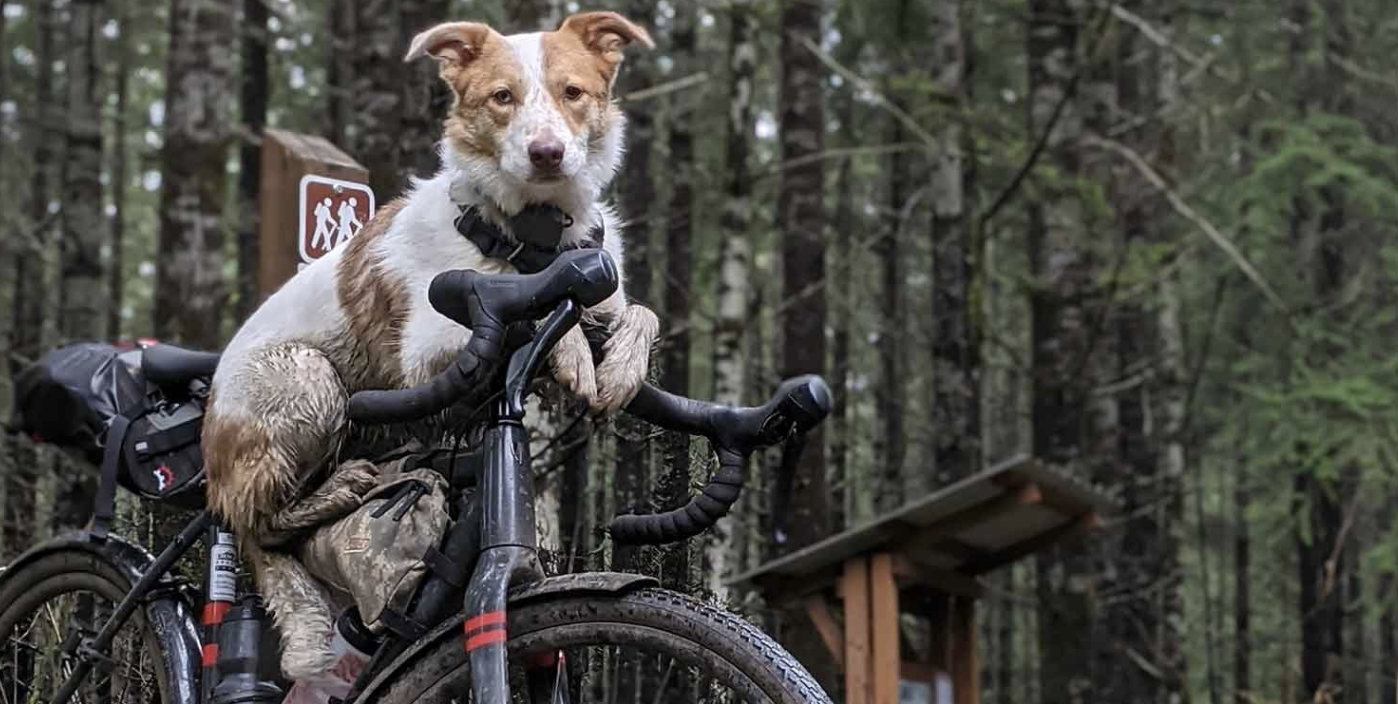
We dropped down to the valley via Sugar Bowl Creek Trail – the only singletrack on this route that is open to bikes. We had to walk since there’s a seasonal bike closure, and unfortunately there’s no easy way around that doesn’t add several miles (and lots of elevation gain). Charlie loves bombing down singletrack, so she was not pleased by this.
The final stretch for the day was along a very lightly trafficked road through a narrow valley. We passed picturesque farms and the tiny town of Harlan. The late afternoon light made us feel like we were in a magical and timeless place, but it was also a reminder of the short days and impending sunset. Nevertheless, we stopped several times for all the irresistible photo ops. This also afforded Charlie a chance to rest since she didn’t have the advantage of coasting down the hills.
We wrapped up day 1 at the halfway point – Big Elk Campground. Big Elk is a county campground that is seemingly in the middle of nowhere. With a bathroom, fire rings, and picnic tables, it’s a nice alternative to dispersed camping and it’s a great place to meet up with friends and family that aren’t riding.
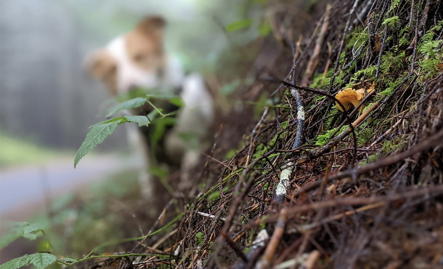
Well-rested, we started day 2 climbing up one of my favorite roads in the coast range: Hilltop. Although it’s technically not gravel, there’s almost no traffic as it passes through National Forest land. We spotted winter chanterelles growing along the bank of the road, and the morning fog slowly gave way to blue skies as we gained elevation.
At this point, the hiking and biking routes diverge, crossing paths several times between here and the beach. We stopped frequently to consult the map since the signs for the biking route hadn’t been installed yet. One thing I have learned from years of exploring the coast range is to look at the map at every intersection. New roads frequently appear and old roads get swallowed by the lush forest faster than you would imagine.
About half way through the morning we started our long, meandering descent to sea level. Everything after Hilltop Road was new to me, and I found myself enamored with the scenery along Beaver Creek Road. Beaver Creek is an ecologically rich stream and the site of a habitat restoration project, including some engineered log jams. The properties along this road were so charming on this sunny morning that it was difficult to remember that this is one of the dampest and dreariest parts of Oregon for much of the year.
We left the forest as Beaver Creek Road turned to pavement along a slough that would eventually dump us out at the beach.
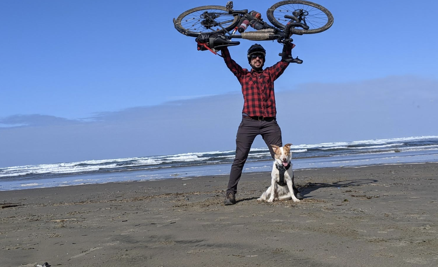
We took a long break to rest Charlie’s foot pads and eat a snack before finishing the last few miles along the marsh and through Brian Booth State Park. As we waited for a break in traffic to cross Highway 101, I was reminded of how relaxing the route had been with virtually no traffic. Once we got across the highway, we pedaled through a maze of paths before finding the sandy beach – Corvallis 59 miles and 24 hours behind us. High fives for the humans and some beach romping for the dog, we were high on adventure and accomplishment.
Although it’s not a backcountry epic, there’s something special about the sense of remoteness, beauty, and history of the C2C trail. Having the opportunity to leave our houses and pedal all the way to the beach through such a dramatic and variable landscape is incredible. Our sense of accomplishment was accentuated by this being Charlie’s longest run to date: 59 miles in just under 24 hours. We met up with our shuttle driver and celebrated with fish sandwiches on the bayfront in Newport before driving back home to Corvallis.